Analysis of shallow well depth prediction: A study of temporal variation of GRACE satellite data in Tampan District-Pekanbaru, Indonesia
DOI:
https://doi.org/10.59190/stc.v1i1.24Keywords:
GRACE Satellite, Groundwater, Model Reliability Test, Tampan District, Total Water StorageAbstract
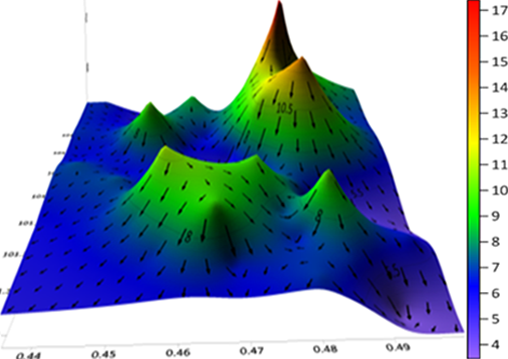
Urban geographic areas that are far from surface water resources cause the availability of groundwater to be limited. Groundwater is the main source of water for urban communities today, however, groundwater does not always exist. Groundwater search continues with the old method which takes a long time. In this study, a groundwater search using a satellite imaging method is proposed to create work effectiveness and a faster time. This study aims to analyze the underground water reservoir in Tampan District using GRACE satellite data in the form of variations in total water storage and correlated with in-situ data. The method used is in the form of total water storage variation modeling in the form of multiple linear regression equations. Parameters that influence the modeling of total water storage variations are rainfall, evaporation, and run-off. The classical assumption test and model feasibility test are used to determine the parameter accuracy in data estimation. The results showed that the multiple linear regression model passed the assumption test and the model feasibility test. The value of the run-off coefficient is greater than the value of the precipitation coefficient. This is because Tampan District has sandy clay rock types and decreasing green open land, so the potential for groundwater loss in the Tampan District area is 1,180,326.63 m3/month.

Downloads
Published
How to Cite
Issue
Section
License
Copyright (c) 2020 Meryati Pertiwi, Juandi Muhammad, Rakhmawati Farma

This work is licensed under a Creative Commons Attribution 4.0 International License.


